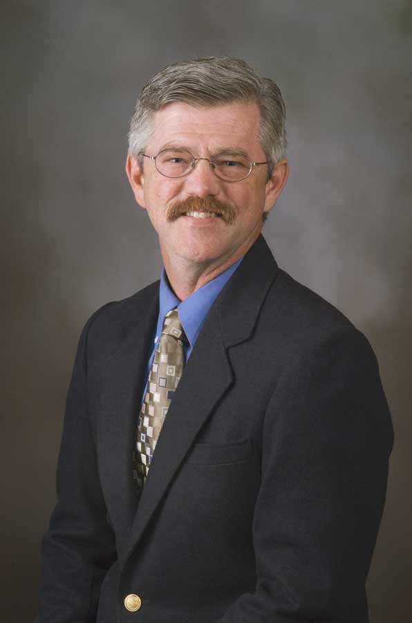
Professor works to manage storm water, help save the environment

Late in the afternoon, Randy Dymond sat in his office on the second floor of Patton Hall and saw a torrential downpour outside. The rain came fast and heavy. It pooled, quickly.
Across campus at the corner of West Campus Drive and Duck Pond Drive, Dymond knew a small section of Blacksburg's Stroubles Creek would easily overflow from water runoff. His computer verified that hunch as a monitoring and camera system at the creek sent back data -- the water was far deeper than normal and moving fast.
About to leave work, Dymond, a professor in the Charles E. Via Jr. Department of Civil and Environmental Engineering, stopped by the creek for a look. The creek was past capacity, with water almost reaching the roadway. Dymond's doctoral students already had been on site to capture more photographs, and were leaving as their professor arrived.
Dymond then headed home, up West Campus Drive, out to Prices Fork and down towards University City Boulevard. But the torrential rain made this trek near impossible. The road was flooding fast during the continuing storm.
"They got too much rain so quickly, it just overwhelmed the piping capacity over there," said Dymond, several weeks later. "It was pretty amazing to see that happen in Blacksburg."
Dymond knows the storm water pipes, inlets, and basins throughout Blacksburg very well. For the past nine years, he and a rotating crew of graduate students has been advising and assisting Blacksburg as it meets storm water management regulations set forth by the Environmental Protection Agency's Clean Water Act and administered by the Virginia Department of Environmental Quality.
As development occurs, storm water quantity and quality can be negatively affected and regulators want cities and towns to make sure they reduce the volume and improve the quality by treating the storm run-off before it enters creeks, rivers, or lakes, to the best of their ability.
The reason is simple and one close to Dymond's heart. All that water run-off carries with it pollutants picked up from parking lots, yards, streets, and farms. They include motor oil, animal waste, trash, chemicals from building materials, and the like. The list is near endless.
None of the run-off of muck "goes away" magically, it goes somewhere, polluting water downstream, and the additional volume causes flooding and erosion. One look around Dymond's office and its many family photos, and you know he's an outdoorsman with a tilt toward water -- fishing, kayaking, and river rafting. Dymond wants to remain a water hobbyist.
"People often think it's washed away, it's gone, but it actually goes into our streams and rivers that we like to recreate in, or that serve as habitats for fauna and flora," added Dymond. "That's why we have storm water laws, that's why we need to clean up, that's why we need to take care of our construction sites and all the other sources of urban and agricultural pollution."
Dymond has studied urban and rural water and wastewater management, storm water runoff, watersheds, and land use development for decades. His interest in flooding hit as a teen, volunteering for a church group to help clean up damage after a flood in Pennsylvania.
At Virginia Tech since 1998, Dymond was the founding director of the Center for Geospatial Information Technology (CGIT), but now has organized and directs the Land Development Design Initiative (LDDI). He tracks how new developments will affect runoff from storms and demands on existing infrastructure, the storm water pipes that are buried and -- in many cases -- are decades old.
Locally, Dymond has been working with the Town of Blacksburg to meet its storm water management and treatment demands for nine years. He helps with modeling and tracking runoff and areas prone to flooding, tricky for an area in the mountains. Rain doesn't fall evenly across any significant piece of real estate. On campus it may be sprinkling at Lane Stadium, but pouring torrentially at Torgersen Hall. This difference affects how flooding peaks, when and where.
Dymond does have one key test area on campus that helps him out greatly -- that monitoring system inside a culvert at the corner of West Campus Drive and Duck Pond Drive, along Stroubles Creek.
There, the university's Learning Enhanced Watershed Assessment System (LEWAS) Laboratory, directed by Vinod Lohani of the Department of Engineering Education, with Dymond serving as assistant director -- have a multiple water quality sensor, called a sonde, mounted on a rack, that can detect a number of parameters including pH, dissolved oxygen and other chemicals, at up to one minute intervals. They also have an Acoustic Doppler Velocity Profiler mounted in the stream bed to give data on stream velocity and flow. A weather station and webcam with solar and grid power and wireless communication devices are all connected.
If the sonde monitors that a chemical in the water exceeds normal bounding limits, Lohani, Dymond, and their research team -- and water quality staff at both Virginia Tech and Blacksburg -- receive an email alert. Trash and debris also wash up inside the culvert. The lab team collects the more unusual items -- a plastic duck, a volleyball, a shoe, signs, concrete slabs, a good number of liquor bottles, and -- ironically -- a "No Dumping" decal designed specifically for Stroubles Creek.
The LEWAS lab has evolved during several years, and now includes the ability to send data in real time, uses a Raspberry Pi microchip computer, a secondary tipping bucket rain gauge, and now has its own dedicated grid power source. Funding for the site has come from the College of Engineering, Virginia Tech's Institute for Critical Technology and Applied Science, and the National Science Foundation.
"Urban storm water needs to be a primary concern for everyone; it is a great resource for us and needs our attention," said Dymond.


