Mapping With Drones workshops offered in Blacksburg and Richmond
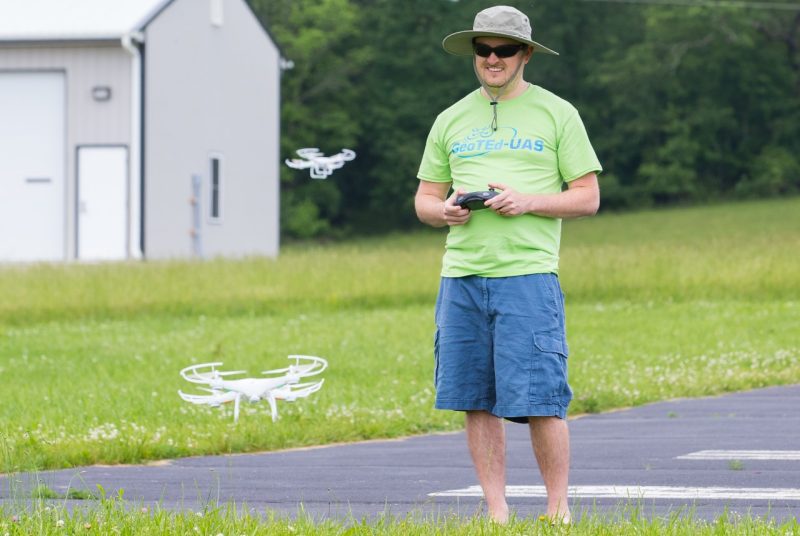
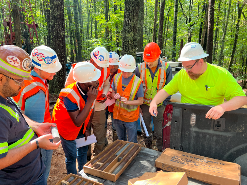
Small Unmanned Aircraft Systems (sUAS), also known as drones, are permeating many sectors of industry and are increasingly being employed as data collection platforms to support an array of applications.
Virginia Tech will host an introductory-level workshop titled Mapping With Drones targeted to natural resource professionals, planners, public safety professionals, agricultural operators, educators, and others. The three-day program will be offered in Blacksburg Oct. 2-4 and in Richmond Oct. 15-17. The same curriculum will be offered at both locations.
“Small unmanned aircraft systems represent a potentially transformative technology. These systems provide government and private industry with the ability to acquire ‘data on demand’ to support specific business and application requirements, and at a relatively low cost,” said John McGee, associate professor in the College of Natural Resources and Environment’s Department of Forest Resources and Environmental Conservation and coordinator of the Virginia Geospatial Extension Program.
Workshop topics will include FAA and sUAS terminology; current federal sUAS regulations; in-depth discussions of sUAS platforms, sensors, and associated applications; image processing software techniques and options; and sUAS project workflows.
The cost of the workshop is $400, which includes instruction, materials, resources, and lunch on each of the three days. Preregistration is required at https://tinyurl.com/UASMapping. Space is limited, so registration will be accepted on a first-come, first-served basis.
The workshop is sponsored by the Virginia Geospatial Extension Program in partnership with Virginia Cooperative Extension, Virginia Tech’s Conservation Management Institute, and the Geospatial Technician Education–Unmanned Aircraft System (GeoTEd-UAS) project team.
For additional information, email John McGee or Daniel Cross.